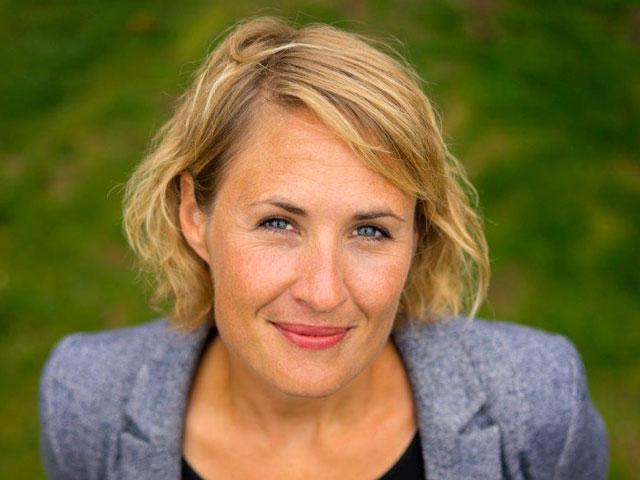
Introducing Dr Katie Cruickshanks, Senior Data Ecologist at Butterfly Conservation who is currently undertaking a strategic review of our data, managing GIS data and support and delivering contract GIS analysis on butterfly and moth data for statutory agencies.
When did you become part of the Butterfly Conservation team?
I started my career with BC as a Field Researcher in 2006, working on the development of the Wider Countryside Butterfly Monitoring Scheme. Four years after the launch of the scheme I left to work in consultancy. As an Ecological Consultant I developed a passion for GIS and data analysis. I returned to BC in 2014 to lead the Farmland Butterfly and Moth Initiative (FBMI) which supported Natural England staff on the ground with tailored advice for priority species. This acted as a springboard to engage more heavily in policy at a time when seismic shifts were occurring in government such as Brexit and the 25 Year Environment Plan. Working with species data and agri-environment schemes through the FBMI cemented my interest in Butterfly Conservation’s data and the way that we use it to communicate and influence.
How has your academic background helped you in your work?
When I started my role at BC, immediately after my PhD, it was a conscious choice to work closer to the coalface of conservation rather than working in pure academic research. However, my experience in academia gave me a huge number of skills relating to experimental research, critical thinking, management and analysis of large datasets, field work planning, networking and problem solving.
What is your current role?
My current role at Butterfly Conservation focuses on a full review of species data at BC. With the tens of thousands of volunteers that contribute annually to our recording schemes we want to ensure that we are managing and making the most of the data that they collect. This means developing more efficient and innovative ways to capture, clean, manage and disseminate data. It also means using key butterfly and moth recording scheme datasets (BNM and NMRS) to make conservation decisions on the ground, target and design research projects, influence positive land management action and drive changes in government policy.
You are clearly inspired by data...
I am! I think data, volunteers and expertise/evidence are the life-blood of what Butterfly Conservation does. Whilst the main part of my job is to review every step in the data life-cycle and look for improvements and opportunities, I also manage the Geographic Information System (GIS) support work at BC with my colleague Patrick Cook. GIS is a data mapping and analysis tool. We provide GIS training, support and all round encouragement, so conservation staff can get their work done on the ground.
What projects have you been most proud to be involved with?
Butterfly Conservation punches above its weight in data terms and our staff are growing their skills, and dare I say, a love of GIS and its data analysis possibilities. I am definitely proud of the GIS training we’ve implemented and the willingness of our staff to learn new GIS skills and tools. I just wish I could click my fingers and provide them with all the latest and most efficient digital solutions straight away!
Meet the team


